Getting Started on the Trail
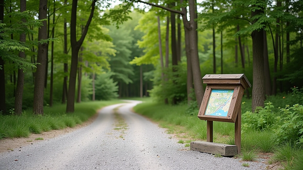
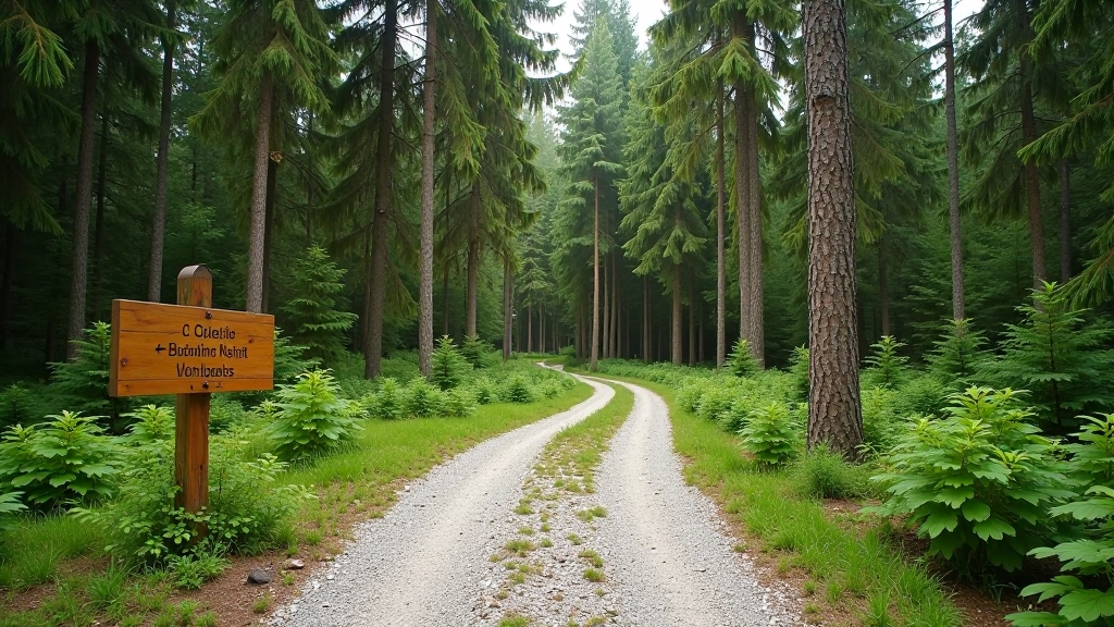
The trailhead sits at a small parking area about 200 meters north of the village. There's space for roughly 8-10 cars, and it's marked clearly with a wooden sign. From the parking area, you'll walk about 50 meters on a gravel path before the actual forest trail begins.
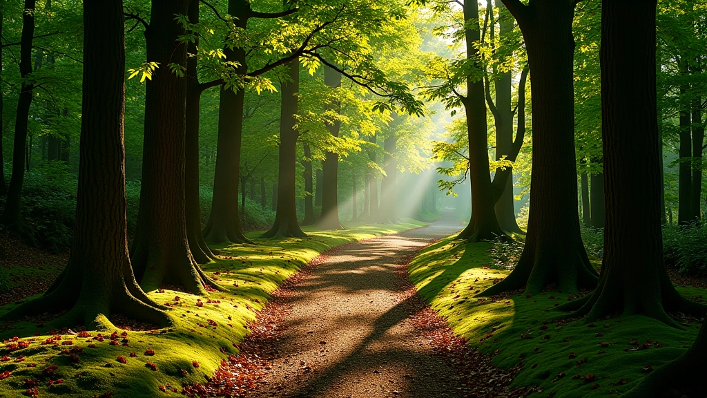
The initial section is relatively flat for the first 400 meters. You're walking between tall spruce and oak, and the canopy coverage is nearly 100% — which is exactly why people prefer this route during warm months. The ground underfoot transitions from gravel to compacted earth as you move deeper into the forest.
The Elevation Section
Around the 600-meter mark, the trail starts climbing. The elevation gain is gradual but noticeable — you're gaining about 80 meters over the next 1 kilometer. This isn't a steep push, but it does require steady effort. Most people describe it as "purposeful" rather than "strenuous."
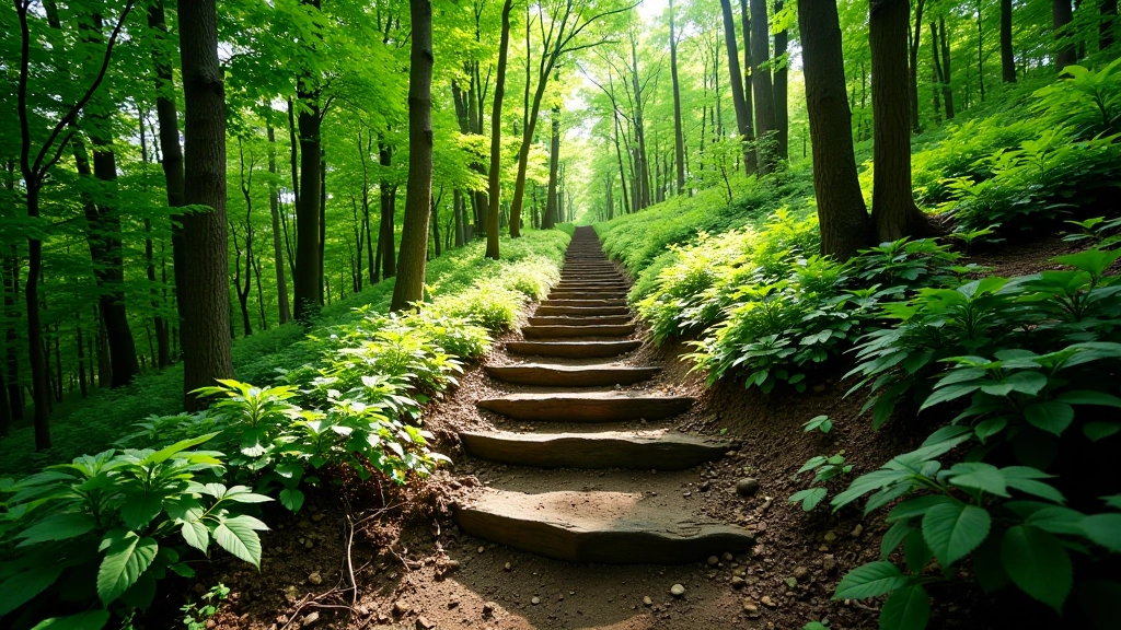
The forest opens slightly here, with more birch mixed among the spruce. There are a few natural stone steps where the path has worn deeper, but nothing that requires scrambling. The path itself stays well-defined — you won't need to hunt for the route.
- Take your time. The shade means you're not racing against heat.
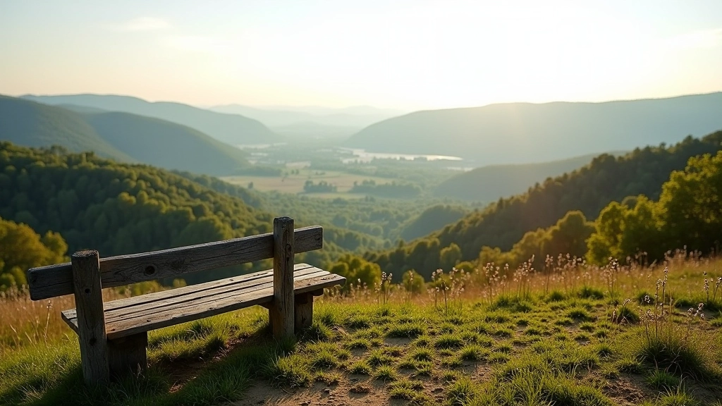
- There's a small log bench about halfway up if you need a break.
- The air gets noticeably cooler as you climb — bring a light layer.
The Ridge Section and Views
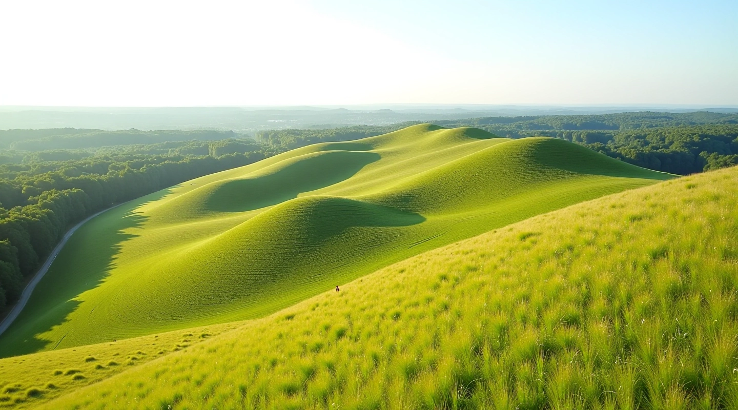
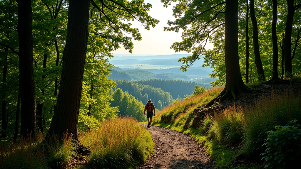
By the 1.6-kilometer mark, you've reached the highest point of the walk. The trail levels out considerably, and the canopy thins just enough to give you occasional glimpses through to the valley below. It's not a dramatic viewpoint — this isn't an open ridge — but on clear days you can see across the valley toward the distant hillfort mounds.
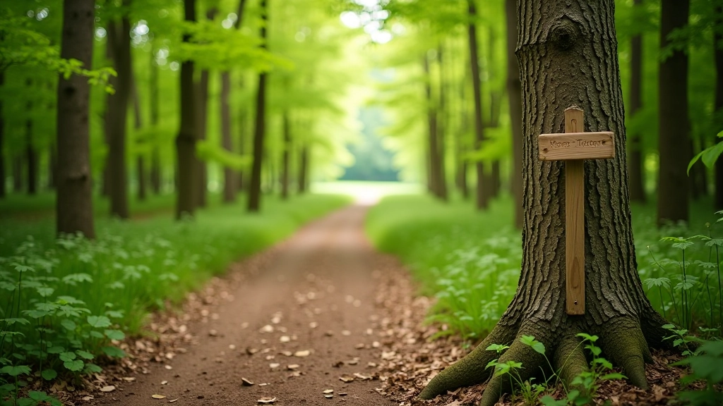
The ridge section is our favorite part of this walk. The forest feels intimate but not claustrophobic. You're surrounded by trees, but the path is wide enough that you don't feel crowded. In autumn, when the leaves turn, the color here is genuinely beautiful. In summer, the shade is unbeatable.
"The thing about this walk is you don't need perfect weather. The forest protects you. We've done it in light rain, and it's actually nicer than on hot days."
The Return Walk
From the ridge, the trail descends gradually over the final 900 meters. This is where the uneven ground matters most — after rain, this section can be slippery. The forest floor is mostly natural mulch and compacted earth, with exposed roots in places. Nothing dramatic, but it requires attention to your footing.
The descent is steady and manageable. We've done this walk with people in their 70s, and while they take their time, they don't find it overly challenging. The key is patience and good footwear. Your knees will appreciate it.
As you approach the end, the forest gradually opens and you'll see the gravel path leading back to the parking area. The whole experience takes between 1 hour 45 minutes and 2 hours 15 minutes depending on your pace and whether you take a rest break.
Practical Details for Planning
This route works year-round, but it's genuinely best in cooler months. In high summer, the shade helps, but the humidity under a closed canopy can feel intense. Spring and autumn are perfect — the forest is active, the temperatures are moderate, and the light is beautiful.
Bring water. There's no water source along the trail, so you'll need to carry what you drink. A small backpack is useful for layers — the forest can feel 5-10 degrees cooler than open areas, and wind doesn't reach you here.
Best Season
April through October. Summer shade is excellent, autumn colors are beautiful.
Surface Type
Mostly compacted earth and natural mulch. Can be uneven, especially on descent.
Facilities
Small parking area at trailhead. No facilities on trail itself. Nearest village services 500m away.